Started the morning from Yurihonjo in Akita. Car navigation brought me up a closed road near Kurosawa Railroad Crossing. The first time it has been wrong. Switch to Google maps and headed up Akita Prefectural Route 287 instead which brought up to the Chokai Green Line and eventually the Yashimaguchi (矢島口) hiking entrance. Car park was packed when I arrived around 6:40 and had to park beside the road. Place is crowded with backcountry folks.
There are multiple approaches to Mt Chokai. Other than Yashimaguchi, the other popular route is using the Hokodate (鉾立) hiking trail from the Chokai Blue Line. However, parts of the Chokai Blue Line had been closed for the past few days due to snow so I decided on the Yashimaguchi approach instead.
Mt Chokai is a standalone volcanic mountain much like Fuji. The slopes are long but gentle. Soon after I started, I realized that I wasn’t following the trail I had marked out on YAMAP. The best thing about winter is the freedom of movement. You can walk anywhere.
Reaching the top of the caldera, I looked up at the sky which is something that I don’t often do. Most of the time I am preoccupied looking at my own feet in order not to trip over. The sun was surrounded by a strange halo. Later, further down the mountain, I would notice that there is also an outer ring of rainbow.

The summit was little removed from the outer ring of the volcano the trail lead me to. It required a small descent first and then up again. This was the only placed where I used an ice axe as the descent, and then returning back up again later on the same trail, was pretty steep. The marker for the peak was also facing a different direction and not immediately obvious.
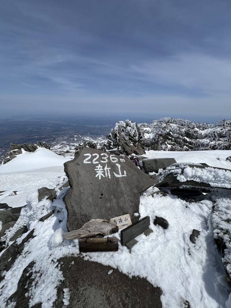
The number of people climbing the peak was much lesser in comparison to the number of people on the mountain. It seems most of the backcountry people didn’t bother and just turned around at the outer ring of the caldera.
Getting there
Stayed the previous night at Yurihonjo. Took the Prefecture Route 287 up to Chokai Green Line and then Yashimaguchi (矢島口). Toilets are available at the 1st car park right at the trail head. For exact hiking trail, refer to the YAMAP track (https://yamap.com/activities/39607217).
