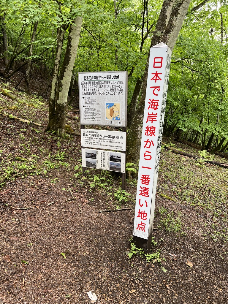
I’ve always been fascinated by extremes. I’ve been the furthest JR station in the north, the northern most point in Japan, as well the furthest JR station in the south. So when I discovered that there is a landmark for the furthest point away front the coast in Japan, I knew I had to visit.
The trail, while not being very well maintained, is pretty short, under 2 hours in total. For the first 1km or so, you’re mostly walking along what used to be a road that has since been reclaimed by name. Then, you follow a narrow stream in a valley up for the remainder of it. Hiking boots are recommended (as opposed to trail runners) because you’re either walking along a stream, criss-crossing it multiple times, or sometimes just outright walking in it. Eventually the path flattens out and I was at the point in Japan furthest away from the coast.
Once there, there was the option of continuing on to Mt Sakaki (榊山) or turning back. I continued on. The path wasn’t very clear from this point onwards and it seems like there were multiple trails that crossed each other at some points, so I recommend checking in with whatever GPS app you are using to make sure you’re not going off in the wrong direction. Mt Sakaki itself is very unremarkable without views of any sort.
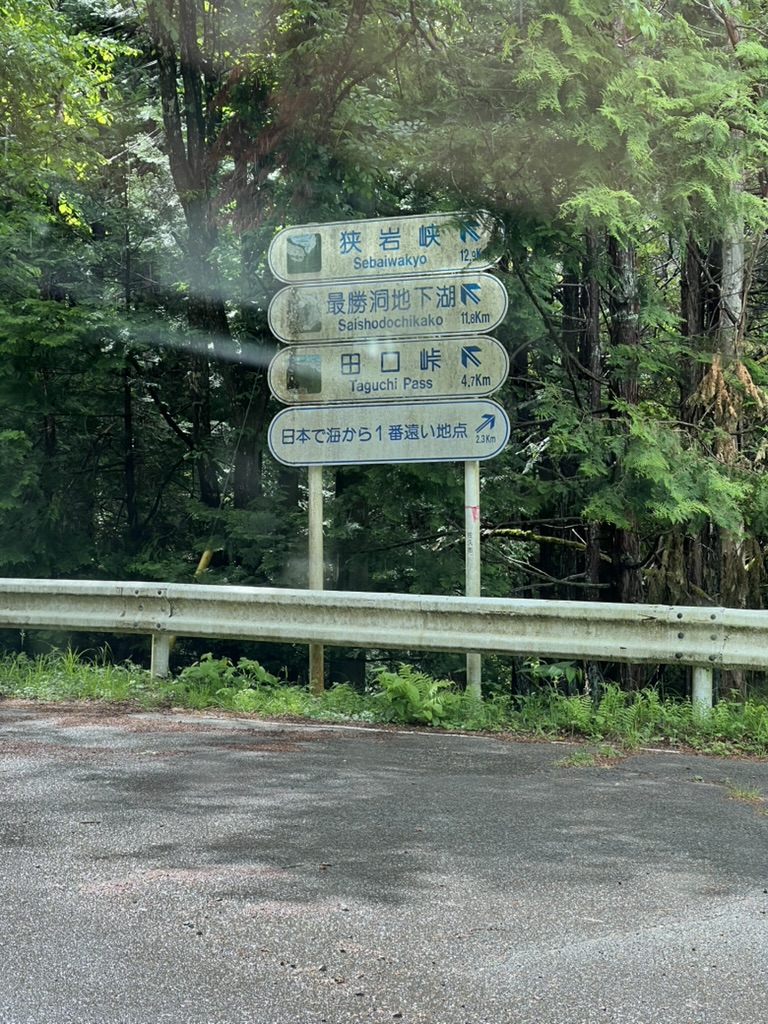
Getting there
Take the highway and exit at Saku (佐久), and the eventually Prefecture Route 93. There is an open area for parking near a cell tower which is accessed by the taking the first right immediately after crossing the bridge.
YAMAP track: https://yamap.com/activities/40244336
